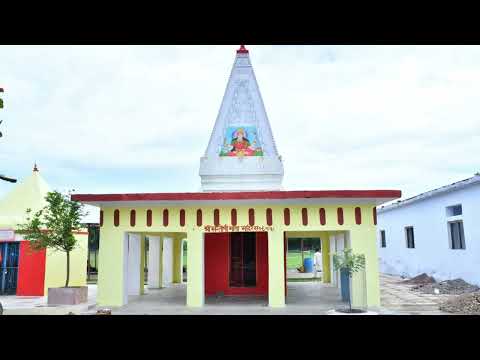


ABOUT DISTRICT
Hamirpur district is a part of Chitrakoot Dham Division of Uttar Pradesh state of India. Hamirpur town is the district headquarters. It consists of Four Tehsil namely Hamirpur, Maudaha, Rath,Sarila and Seven Blocks namely Gohand, Kurara, Maudaha, Muskara, Rath, Sarila, Sumerpur.
View More